

1
/
von
1
National Geographic Adventure Travel Map Mount Carlo to Pleasant Pond
National Geographic Adventure Travel Map Mount Carlo to Pleasant Pond
Normaler Preis
CHF 15.90
Normaler Preis
Verkaufspreis
CHF 15.90
Inkl. MwSt.
Versand wird bei Kasse berechnet
In 1–2 Tagen versandfertig
Anzahl
Verfügbarkeit für Abholungen konnte nicht geladen werden
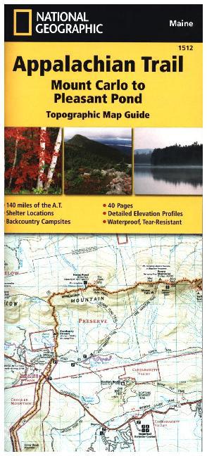
Waterproof, tear-resistant topographic map guide. The Mount Carlo to Pleasant Pond Topographic Map Guide makes a perfect traveling companion when traversing the southern Maine section of the Appalachian Trail. Each A.T. Topographic Map Guide includes detailed topographic maps at a detail of 1 inch equals 1 mile. Each page is centered on the A.T. and overlaps with the adjacent pages so there is little chance of getting lost. Along the bottom of each page is a trail profile that shows the distance between shelters, camping areas, and trail access points.
Weitere Angaben
Unbekannt (CA), Polychrome print. Folded, Englisch, 1 Seiten
Jetzt Liquidations-News abonnieren
Immer die neusten Abverkäufe und Räumungen kennen! (Max. 1 Nachricht / Monat)